From the Scottish Highlands to the White Cliffs of Dover, we provide comprehensive geographic education and analysis services tailored to your needs.
Explore Our ServicesThe United Kingdom presents one of the most diverse geographic landscapes in Europe, shaped by millions of years of geological activity.
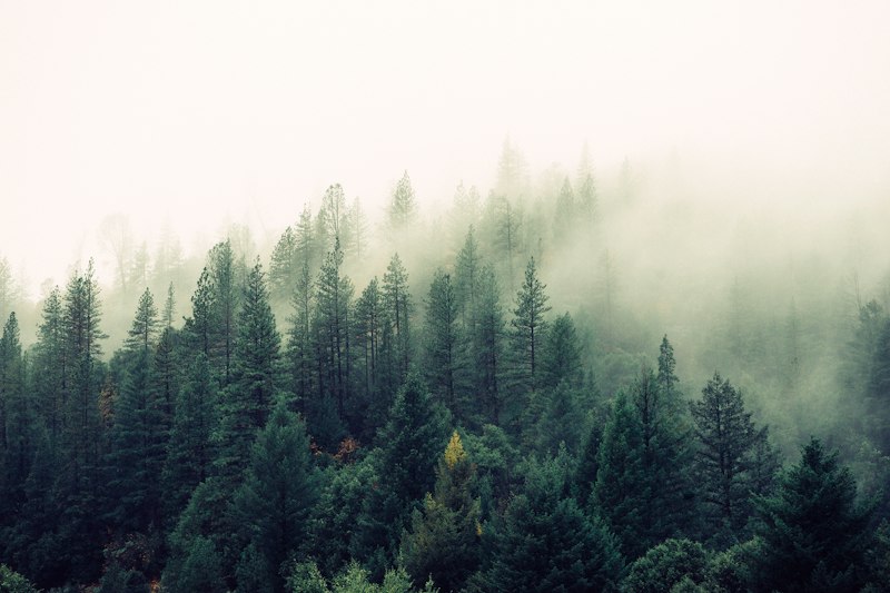
Home to Ben Nevis, the highest peak in the British Isles at 1,345 metres, the Highlands represent some of the oldest rock formations in Europe. Our detailed terrain analysis reveals the ancient Caledonian mountain belt's lasting influence on modern landscapes.
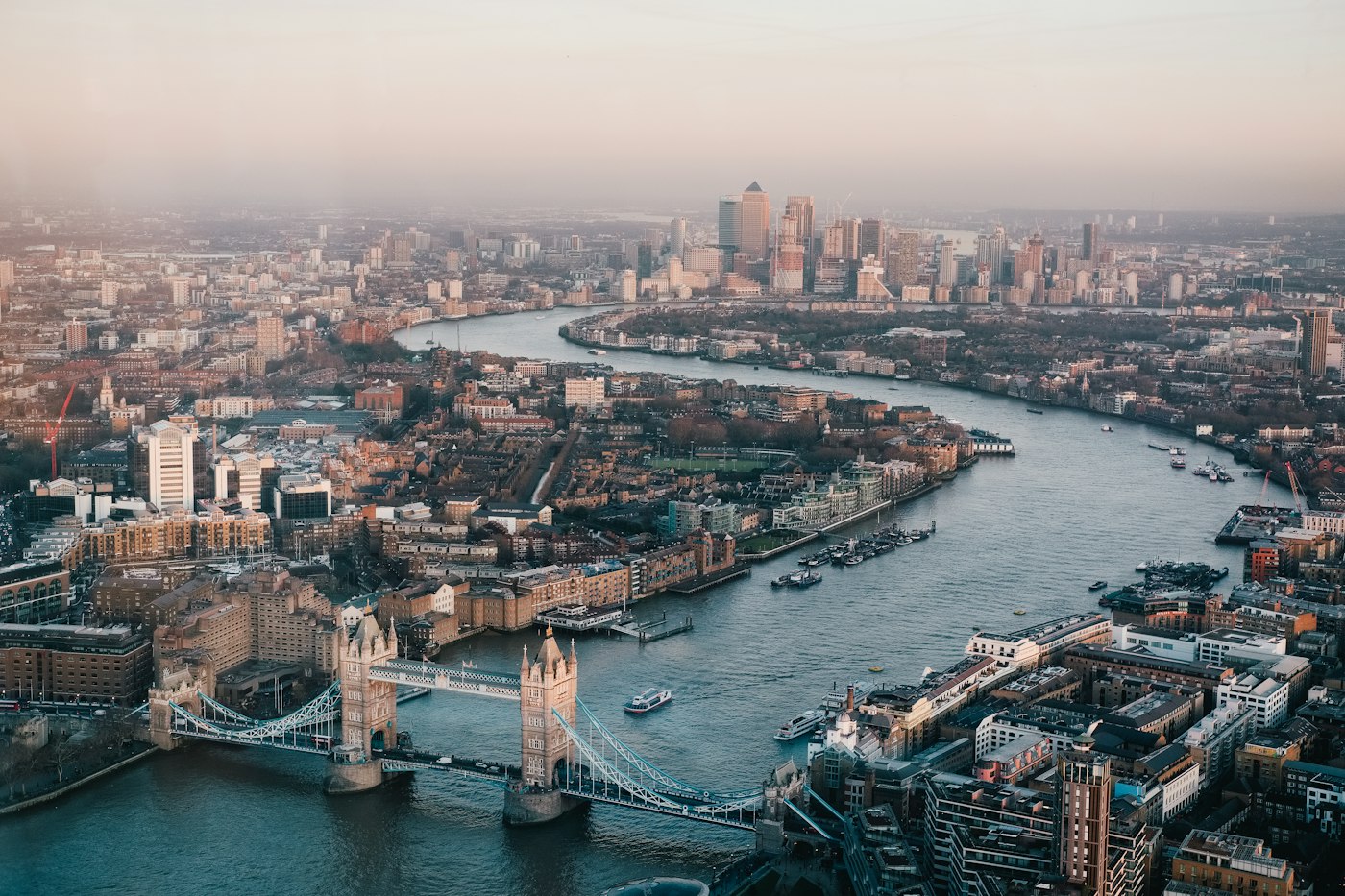
Learn MoreThe Thames Basin and surrounding lowlands showcase classic sedimentary geology. Our mapping services document over thirty major river systems that have shaped agricultural patterns for millennia.
Discover MoreProfessional services designed for educators, researchers, and geography enthusiasts seeking deeper understanding of the British landscape.
In-depth analysis of specific UK regions including geological history, climate patterns, and human geography.
Comprehensive workshops for schools and educational institutions covering all aspects of UK physical geography.
Bespoke cartographic solutions for research projects, publications, or educational resources.
The United Kingdom boasts over 19,491 kilometres of coastline, featuring chalk cliffs, sandy beaches, rocky headlands, and estuarine mudflats. Each coastal type tells a unique geological story.
Our coastal analysis services examine erosion patterns, sediment transport, and the interaction between marine and terrestrial environments. Understanding these processes proves essential for coastal management and conservation efforts.
View Coastal ServicesFeedback from educators and researchers across the UK.
"The workshop transformed our Year 10 geography curriculum. Students now have a genuine understanding of glacial landforms rather than just memorising definitions."
"The custom maps produced for our research publication were exceptional. The attention to geological detail surpassed anything we had previously commissioned."
"The regional consultation provided invaluable insights for our documentary series on Welsh landscapes. Highly recommended for any media project."
Complete the form below and we shall respond within two working days.
The information provided on this website is for general educational purposes only. Geographic data may be subject to change and should be verified for critical applications. Results and experiences may vary. This content does not constitute professional geological or environmental advice. Please consult qualified specialists for specific projects requiring expert assessment.